


Unlocking Decades of Buried Mineral Rights Data
Phase2_Land accelerates mineral rights research from weeks to days, transforming handwritten ownership records into searchable intelligence—saving thousands of hours and reducing costly risks in multi-million dollar drilling projects.



Phase2_Land leverages Phase2's expertise in both AI document processing and energy industry operations, addressing critical challenges in upstream oil and gas development.
The Challenge
Oil and gas companies build multi-million dollar drilling programs on top of mineral rights research that hasn't kept pace with the volume of records involved. Decades of handwritten conveyances, lease agreements, and division orders sit scattered across courthouse archives and internal filing systems no one has fully indexed. Before a lease closes or a well is permitted, someone has to trace the chain of title back through every assignment and every heir, often working from legal descriptions written before surveyors were required to record bearings or confirm a point of closure.
That work still runs through manual deed plotting: a landman or deed plotter reads a paragraph of metes and bounds and hand draws what it describes, tract by tract, county by county. A single mineral rights research package can take weeks. A missed interest or a misread call in a legal description can stall a permit, delay a closing, or surface as a costly ownership dispute after the rig is already on location.
Phase2_Approach
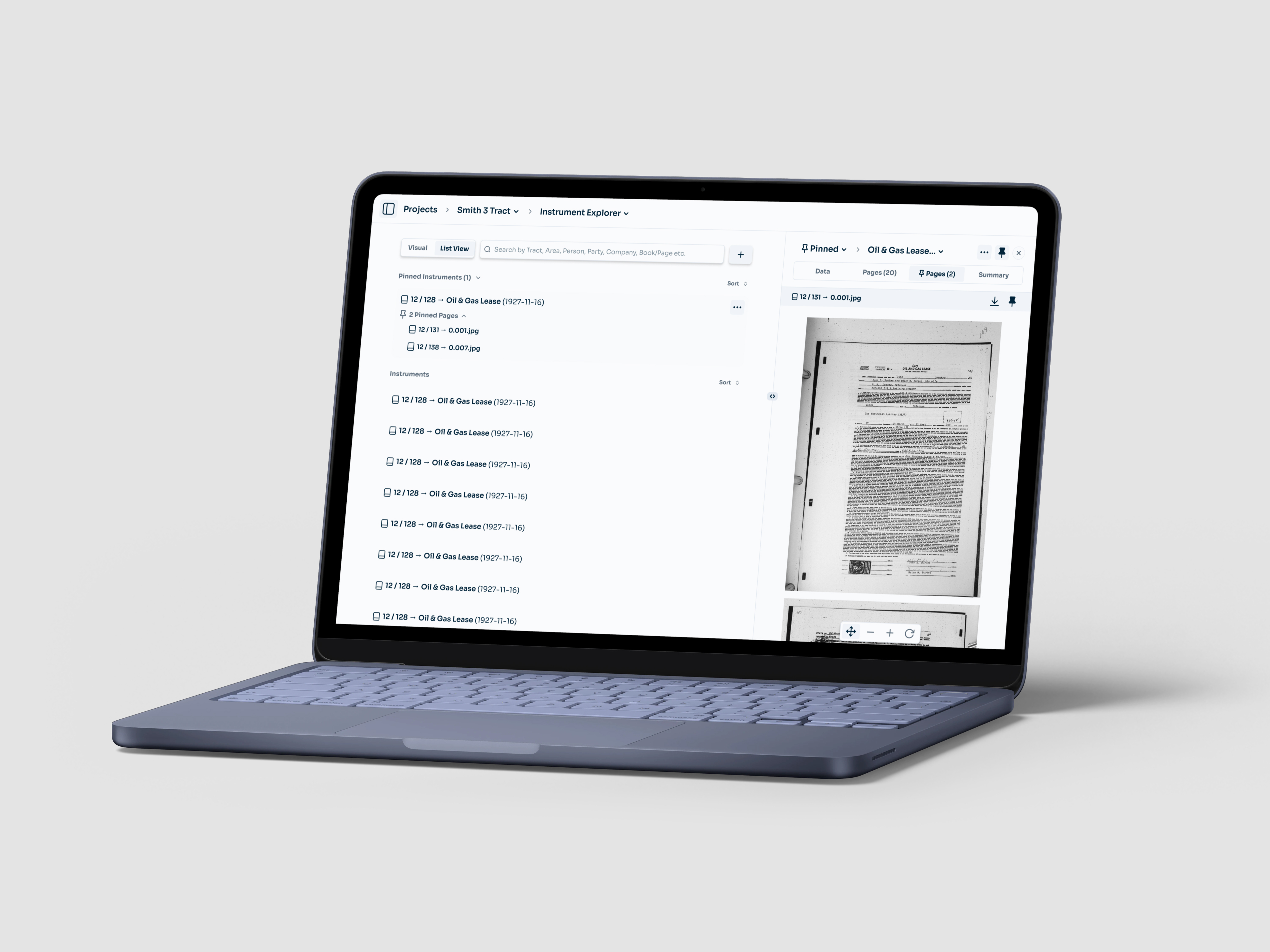
Phase2_Land applies traditional code with AI to properly digest and contextualize mineral rights records. The system reads scanned deeds, leases, and mineral conveyances page by page and extracts the fields a landman actually needs: grantor and grantee, instrument type, execution and filing dates, mineral and royalty fractions, and the legal description itself.
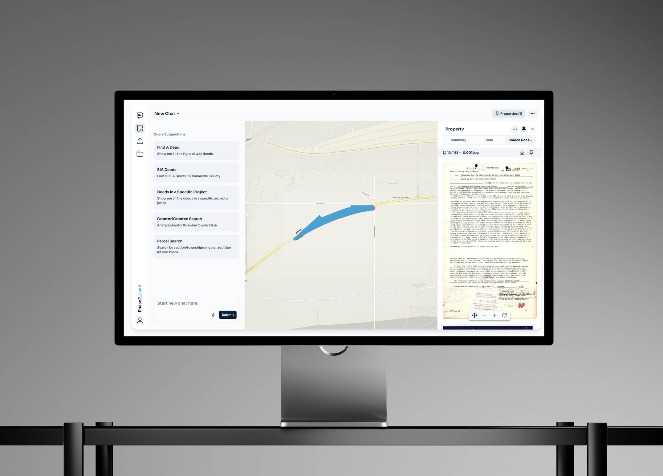
Metes and bounds descriptions, often a single dense paragraph naming a starting point, a sequence of calls and bearings, and an implied closure back to that point, get parsed into coordinate sequences and rendered as spatial geometry. Older instruments frequently lack bearings or leave gaps a surveyor once had to resolve by eye. Phase2_Land treats that closure as an optimization problem, reconciling ambiguous calls against known landmarks and adjoining tracts instead of forcing someone to redraw the shape from scratch. Every extracted field and every plotted tract links back to the exact page and clause it came from, so a title attorney or engineer can verify a result in seconds instead of retracing the research by hand.
Phase2_Result
Mineral rights research that used to run weeks of manual deed plotting moves to days or hours. Ownership chains, lease obligations, and net mineral acreage become queryable instead of buried across file folders and courthouse scans, and every answer carries a citation back to its source document. That visibility gives land and legal teams the confidence to move on acquisitions and permits faster, backed by a record they can defend if an ownership question surfaces later.
.png)